Sydney, Australia

Hermitage Foreshore

One of Sydney's hidden gems

Rose Bay to Watsons Bay along the harbour's eastern edge — the Hermitage Foreshore track, Milk Beach and Strickland House, Shark Beach at Nielsen Park, then Parsley Bay and the run out to Camp Cove. City skyline views almost the whole way.

Distance
9.48 km
Elevation
93 m
Time
55–70 min
Difficulty
Moderate
Type
Point to point
HarbourCoastalSunsetModerate

Route map

Every stop, mapped

Loading map…
StartFinishWaterToiletsTransportCafeBeachLookoutLandmark Photo stop

Route timeline

Kilometre by kilometre

  1. 0 km

    Rose Bay

    Start on the foreshore and follow the harbour east.

  2. 1.6 km

    Milk Beach

    Sand and sandstone steps below Strickland House.

  3. 3.2 km

    Nielsen Park

    Shark Beach, kiosk, taps and toilets — the natural halfway.

  4. 5 km

    Parsley Bay

    Across the suspension bridge and up through Vaucluse.

  5. 7 km

    Watsons Bay

    Around Robertson Park to Camp Cove.

  6. 7.5 km

    South Head

    Out to Hornby Lighthouse and the harbour mouth.

  7. 9.5 km

    Camp Cove

    Finish on the sand — ferry home from Watsons Bay.

Route highlights

The parts you'll remember

1.6 km

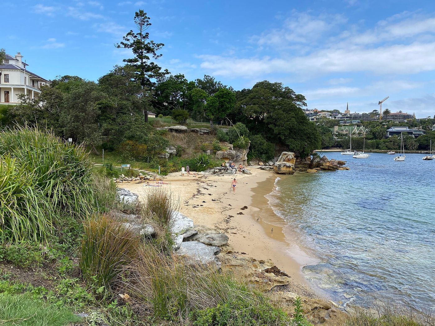
Milk Beach

A crescent of sand below Strickland House with the Harbour Bridge and city skyline directly across the water.

-33.8629, 151.2689

3.2 km

Shark Beach, Nielsen Park

Netted harbour swimming under huge fig trees, with a kiosk right on the sand.

-33.8558, 151.2692

7.5 km

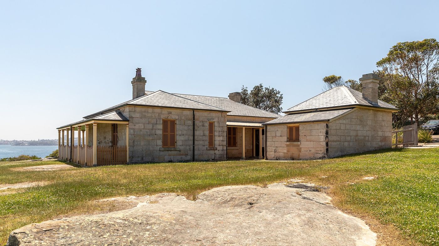
South Head & Hornby Lighthouse

The turn out to the harbour mouth — red-and-white lighthouse, sandstone cliffs and North Head straight across.

-33.8335, 151.2799

Photo stops

Where to stop and shoot

Milk Beach on the route
-wuppertaler / CC BY 4.0

Milk Beach

The classic Sydney frame: sand in the foreground, Harbour Bridge and skyline across the water.
Best time
Sunset, or blue hour
Photography tip
Shoot from the eastern rocks at low tide so the wet sand mirrors the skyline.
GPS
-33.8629, 151.2689
Hornby Lighthouse on the route
Dietmar Rabich / CC BY-SA 4.0

Hornby Lighthouse

Striped lighthouse on the sandstone tip of South Head, with the open Pacific behind it.

Best time
Early morning
Photography tip
Drop below the path to the west so the stripes stand against the water, not the sky.
GPS
-33.8335, 151.2799

Local knowledge

Before you go

Best time to run
Late afternoon, then stay for sunset over the city from Milk Beach.
Sunrise
6:00am summer / 6:50am winter — the sun rises behind you over the heads.
Sunset
Straight across the harbour behind the bridge.
Parking
Street parking around Rose Bay; paid parking at Nielsen Park and Watsons Bay.
Public transport
Ferry to Rose Bay to start, ferry home from Watsons Bay. The 325 bus links the whole route.
Water
Nielsen Park, Parsley Bay and Watsons Bay.
Toilets
Nielsen Park, Parsley Bay and Robertson Park.

Safety

Steps, sand and a few short road crossings. Slippery after rain, not stroller-friendly.

Getting there

  • Rose Bay ferry wharf
  • Watsons Bay ferry wharf

2 water points · 2 toilet stops on route

Local tip

Finish with a swim inside the net at Camp Cove, then take the ferry back to the city.

  • Nielsen Park KioskSits on the sand at the halfway mark.
  • Watsons Bay HotelBeer garden 200 m from the finish.
  • Watsons Bay ferryThe best way home — the whole route in reverse from the water.

Route pack

Download the Hermitage Foreshore pack

The GPX file plus everything on this page, ready for your watch and your pocket.

  • GPX file
  • Route map
  • Route summary
  • Elevation profile
  • Route highlights
  • Photo-stop guide
  • Public transport info
  • Local recommendations

Get the route pack

Enter your email and the download starts straight away.

No spam. Unsubscribe anytime.