Sydney, Australia

Narrabeen Lagoon Trail

Flat, accessible and great for all abilities

Distance
8.56 km
Elevation
7 m
Difficulty
Easy

45–55 min Loop

A sealed and boardwalk circuit right around Narrabeen Lagoon. Almost no elevation, plenty of shade and lakeside scenery the whole way — the northern beaches' favourite easy run.
SunsetBeginner FriendlyNo Car NeededEasy
WhatsApp
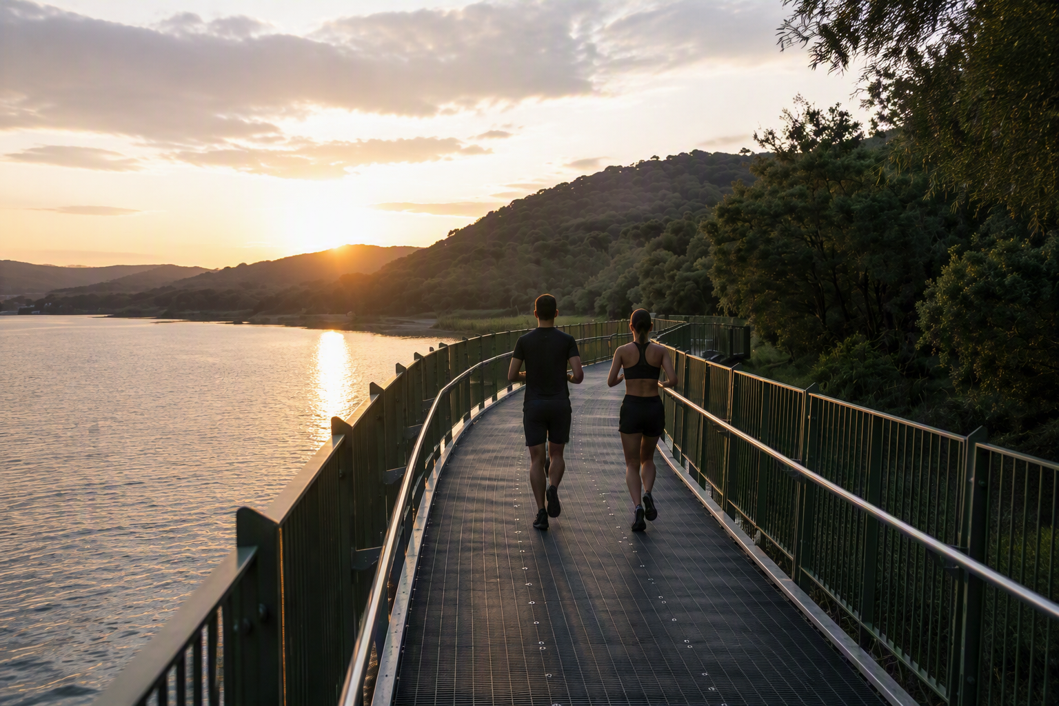
Two runners on the Narrabeen Lagoon boardwalk at sunset

Free route pack

Run Narrabeen Lagoon Trail with confidence

Get the complete route on your watch, plus the local detail that turns it into a memorable morning.

  • GPX + Garmin download
  • Elevation profile
  • Printable terrain map
  • Public transport info
  • Photo-stop guide
  • Coffee + brunch suggestions

Get the free route pack

Enter your email and we'll send the route pack straight to your inbox, with the GPX file for your watch.

No spam. Unsubscribe anytime.

The experience

Why you'll love this run

  • A flat, continuous loop beside the lagoon
  • Boardwalks, shade and water views throughout
  • An approachable choice for every ability
  • Finish with a short trip to Narrabeen Beach

At a glance

crowds
scenery
adventure
technicality
accessibility

Route contributor

Who shared this run

Jamie

Jamie

@jwtrichards
“It's literally my backyard. Great for flat training sessions, or adding onto longer runs. It's spectacular at sunrise and sunset.”

Know a run Sydney should see? Share your favourite route.

Route map

Every stop, mapped

Loading map…
Email me the route for my Garmin
Printable illustrated route card

We'll email the free GPX file — drop it into Garmin Connect and send it to your watch.

StartFinishWaterToiletsTransportCafeBeachLookoutLandmark Photo stop

Route timeline

Kilometre by kilometre

  1. 0 km

    Bilarong Reserve

    Head anti-clockwise along the northern shore.

  2. 2.4 km

    Jamieson Park

    Water, grass and lagoon beach.

  3. 3.6 km

    Deep Creek

    Boardwalk through the wetlands.

  4. 6.2 km

    Middle Creek

    Southern shore, shaded and quiet.

  5. 8.4 km

    Bilarong Reserve

    Full circuit complete.

Route highlights

The parts you'll remember

3.6 km

Deep Creek boardwalk

A long timber boardwalk over the wetlands at the western end — the quietest part of the loop.

-33.7135, 151.2704

2.4 km

Jamieson Park

Wide grass and a swimming beach on the lagoon's northern shore.

-33.7098, 151.2854

Photo stops

Where to stop and shoot

Western boardwalk on the route
Wheres.dot / CC BY-SA 4.0

Western boardwalk

Still water, reeds and reflections of the escarpment behind.

Best time
Golden hour before sunset
Photography tip
Get low so the boardwalk rail leads into the reflection.
GPS
-33.7135, 151.2704

Local knowledge

Before you go

Best time to run
Late afternoon — the western end lights up beautifully.
Sunrise
6:00am summer / 6:50am winter.
Sunset
Best viewed from the northern shore looking west across the lagoon.
Parking
Free parking at Bilarong Reserve, Jamieson Park and Berry Reserve.
Public transport
B-Line to Narrabeen, then 700 m to the trail.
Water
Taps at Bilarong, Jamieson Park and Berry Reserve.
Toilets
Bilarong Reserve and Berry Reserve.

Safety

Shared with cyclists — keep left. Some sections are unlit after dark.

Getting there

  • • B-Line bus, Narrabeen

1 water point · 2 toilet stops on route

Make a morning of it

Finish with a swim at Narrabeen Beach, five minutes east of Bilarong Reserve.

  • coffeeBert's Cafe — Right on the lagoon at the Narrabeen end.
  • swimNarrabeen Ocean Pool — Free tidal pool a short jog from the finish.

Ready to run Narrabeen Lagoon Trail?

Get the free route pack
Get free route pack