3.2 km
Reef Beach
A quiet, sheltered pocket of sand two kilometres from anywhere. The first place the track drops right down to the water.
-33.8034, 151.2617Sydney, Australia
Arguably Sydney's most beautiful trail run
Ten kilometres of harbour foreshore track linking Manly to the Spit — harbour views, hidden beaches, bushland, boardwalks and Aboriginal rock engravings most locals have never seen.
Route map
Route timeline
0 km
Run west along the Fairlight foreshore promenade.
1.8 km
Sealed path ends; the trail begins.
3.2 km
First beach drop, then a steep climb out.
5.1 km
Highest point of the route.
6.4 km
Optional 600 m spur to the lighthouse and engravings.
8.7 km
Water, toilets and shade.
10 km
Finish at the bus stop on Spit Road.
Route highlights
3.2 km
A quiet, sheltered pocket of sand two kilometres from anywhere. The first place the track drops right down to the water.
-33.8034, 151.26176.4 km
A short spur off the main track to a lighthouse on the headland, with Aboriginal rock engravings on the sandstone platform above.
-33.8098, 151.25608.7 km
Grass, shade, netted swimming and taps — the natural place to stop before the final push to the bridge.
-33.8065, 151.2497Photo stops
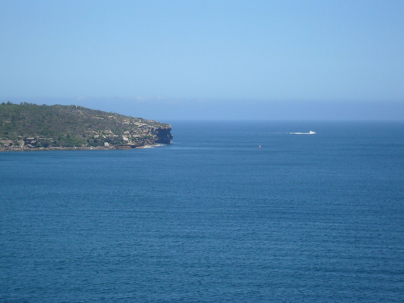
The whole harbour opens up beneath you — Middle Head, North Head and the city skyline in one frame.
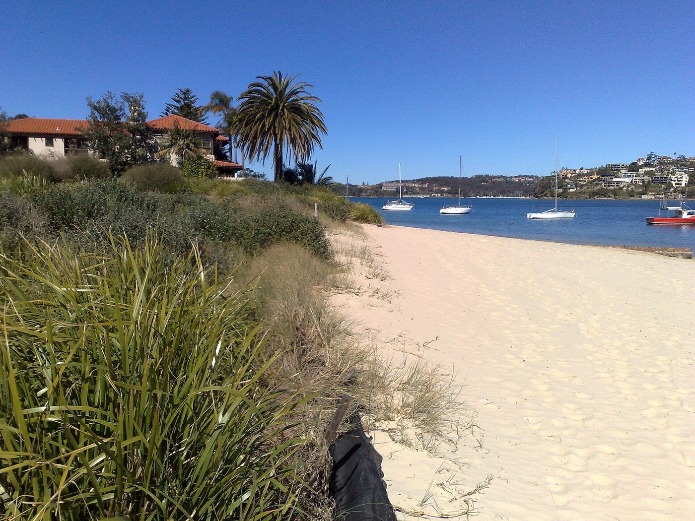
Twenty metres of sand with yachts moored just offshore and almost never another person on it.
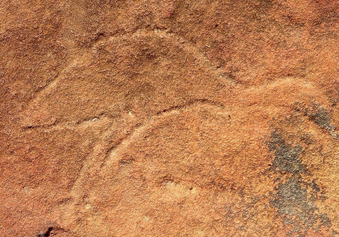
Thousands of years of Aboriginal rock art on an open sandstone platform above the harbour.
Local knowledge
Safety
Rocky, root-covered singletrack with drop-offs. Trail shoes strongly recommended. Snakes in summer.
2 water points · 1 toilet stop on route
Grab a coffee at Rollers Bakehouse in Manly before you start — it's the best in the north.
Route pack
The GPX file plus everything on this page, ready for your watch and your pocket.