Sydney, Australia

Manly Dam Circuit

Sydney's trail-running playground

Distance
7.31 km
Elevation
86 m
Difficulty
Hard

45–60 min Loop

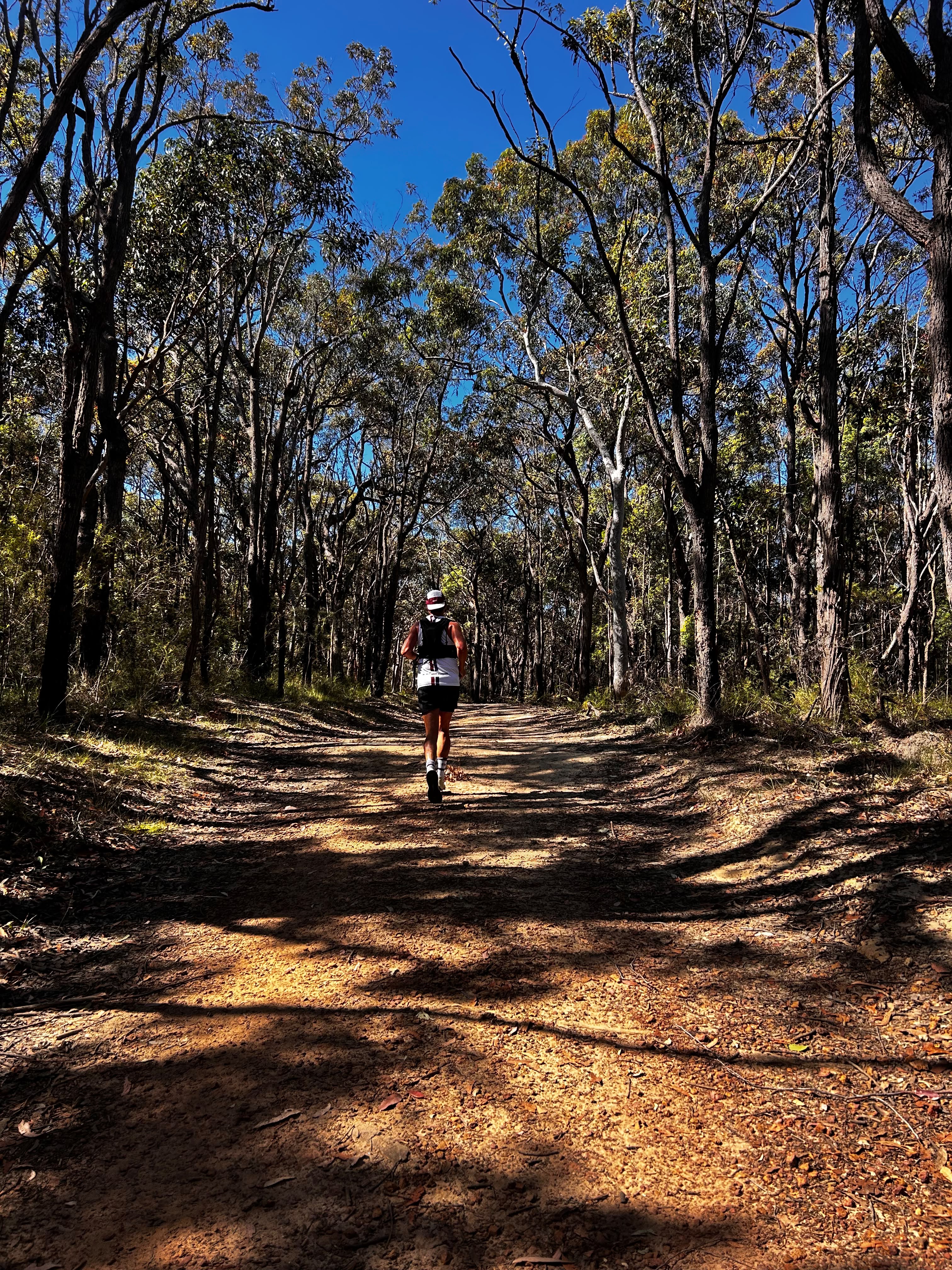
Loops from 7 to 11 km around the Manly Dam reservoir — single track, bushland and water views, with short sharp climbs, creek crossings and a swimming reservoir at the finish.
Trail RunningWeekend AdventureHard
WhatsApp
Manly Dam Circuit

Free route pack

Run Manly Dam Circuit with confidence

Get the complete route on your watch, plus the local detail that turns it into a memorable morning.

  • GPX + Garmin download
  • Elevation profile
  • Printable terrain map
  • Public transport info
  • Photo-stop guide
  • Coffee + brunch suggestions

Get the free route pack

Enter your email and we'll send the route pack straight to your inbox, with the GPX file for your watch.

No spam. Unsubscribe anytime.

The experience

Why you'll love this run

  • One of Sydney’s most accessible trail adventures
  • Creek crossings, single track and sharp climbs
  • Bushland feels far removed from the city
  • Swim in the reservoir after the loop

At a glance

crowds
scenery
adventure
technicality
accessibility

Route map

Every stop, mapped

Loading map…
Email me the route for my Garmin
Printable illustrated route card

We'll email the free GPX file — drop it into Garmin Connect and send it to your watch.

StartFinishWaterToiletsTransportCafeBeachLookoutLandmark Photo stop

Route timeline

Kilometre by kilometre

  1. 0 km

    Picnic area

    Head anti-clockwise onto the loop track.

  2. 3.1 km

    Creek crossings

    Technical rock-hop section.

  3. 5 km

    Southern arm

    The steepest climbs of the loop.

  4. 6.4 km

    Dam wall

    Cross the wall and back to the start.

  5. 7.5 km

    Picnic area

    Swim in the reservoir to finish.

Route highlights

The parts you'll remember

6.4 km

The dam wall

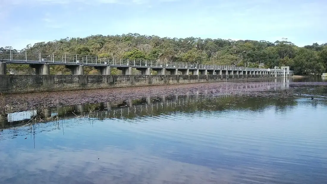
Run across the top of the 1892 wall with the reservoir on one side and the gorge on the other.

-33.7780, 151.2522

3.1 km

Creek crossings

Two rock-hop crossings on the western arm of the circuit — expect wet shoes after rain.

-33.7692, 151.2413

Photo stops

Where to stop and shoot

Reservoir edge on the route
CamV8 / CC BY-SA 4.0

Reservoir edge

Still water, gum trees and sandstone with no sign of the city.

Best time
Mid-morning
Photography tip
Shoot across the water with a branch overhead for a natural frame.
GPS
-33.7785, 151.2531

Local knowledge

Before you go

Best time to run
Morning, and avoid the day after heavy rain — the rock gets slick.
Sunrise
6:00am summer / 6:50am winter, but the bush stays dark longer.
Sunset
Not recommended — the loop is unlit and easy to lose in low light.
Parking
Free parking at the King Street picnic area.
Public transport
Buses along King Street, Manly Vale, then 400 m to the trailhead.
Water
Tap at the picnic area only.
Toilets
Picnic area.

Safety

Shared with mountain bikers — the loop runs one way for bikes, listen for them. Trail shoes essential.

Getting there

  • • King St bus stop

1 water point · 1 toilet stop on route

Make a morning of it

Swim in the reservoir afterwards; it's one of the few freshwater swims in Sydney.

  • brunchManly Vale bakeries — Five minutes' drive for a proper post-run feed.

Ready to run Manly Dam Circuit?

Get the free route pack
Get free route pack