2.2 km
Iron Cove Bridge
The shared path crosses the bridge with open water on both sides.
-33.8608, 151.1442Sydney, Australia
Sydney's most popular urban running circuit
A flat seven-kilometre sealed circuit around the Iron Cove waterfront. Kilometre markers, no traffic and the Inner West's entire running community out on it every morning.
Route map
Route timeline
0 km
Head north — kilometre markers are painted on the path.
2.2 km
Cross to the Drummoyne side.
3.5 km
Shaded and flat.
5.5 km
Water and toilets.
7 km
Loop complete.
Route highlights
2.2 km
The shared path crosses the bridge with open water on both sides.
-33.8608, 151.14423.5 km
A tunnel of Moreton Bay figs along the Drummoyne shore — the shadiest kilometre in the Inner West.
-33.8672, 151.1418Photo stops
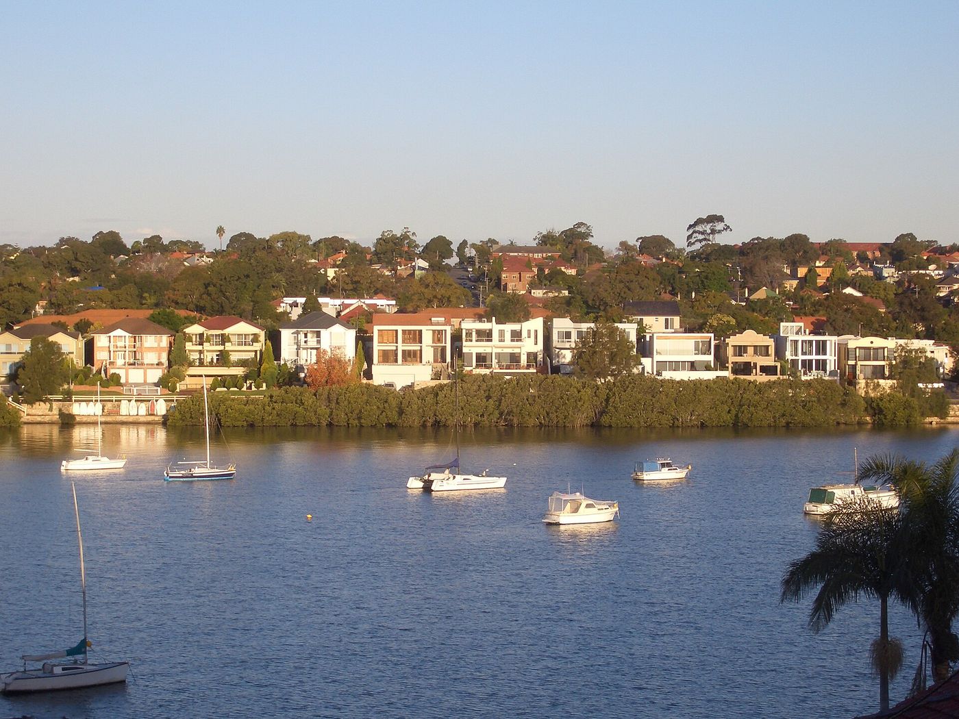
Rowers on flat water with the city skyline just visible beyond.
Local knowledge
Safety
Shared with cyclists and prams — keep left and be predictable.
1 water point · 2 toilet stops on route
Swim at Leichhardt Park Aquatic Centre after; the outdoor pool overlooks the water.
Route pack
The GPX file plus everything on this page, ready for your watch and your pocket.