Sydney, Australia

Balmoral to Taronga Zoo

Harbour bushland, hidden beaches and the best skyline view in Sydney

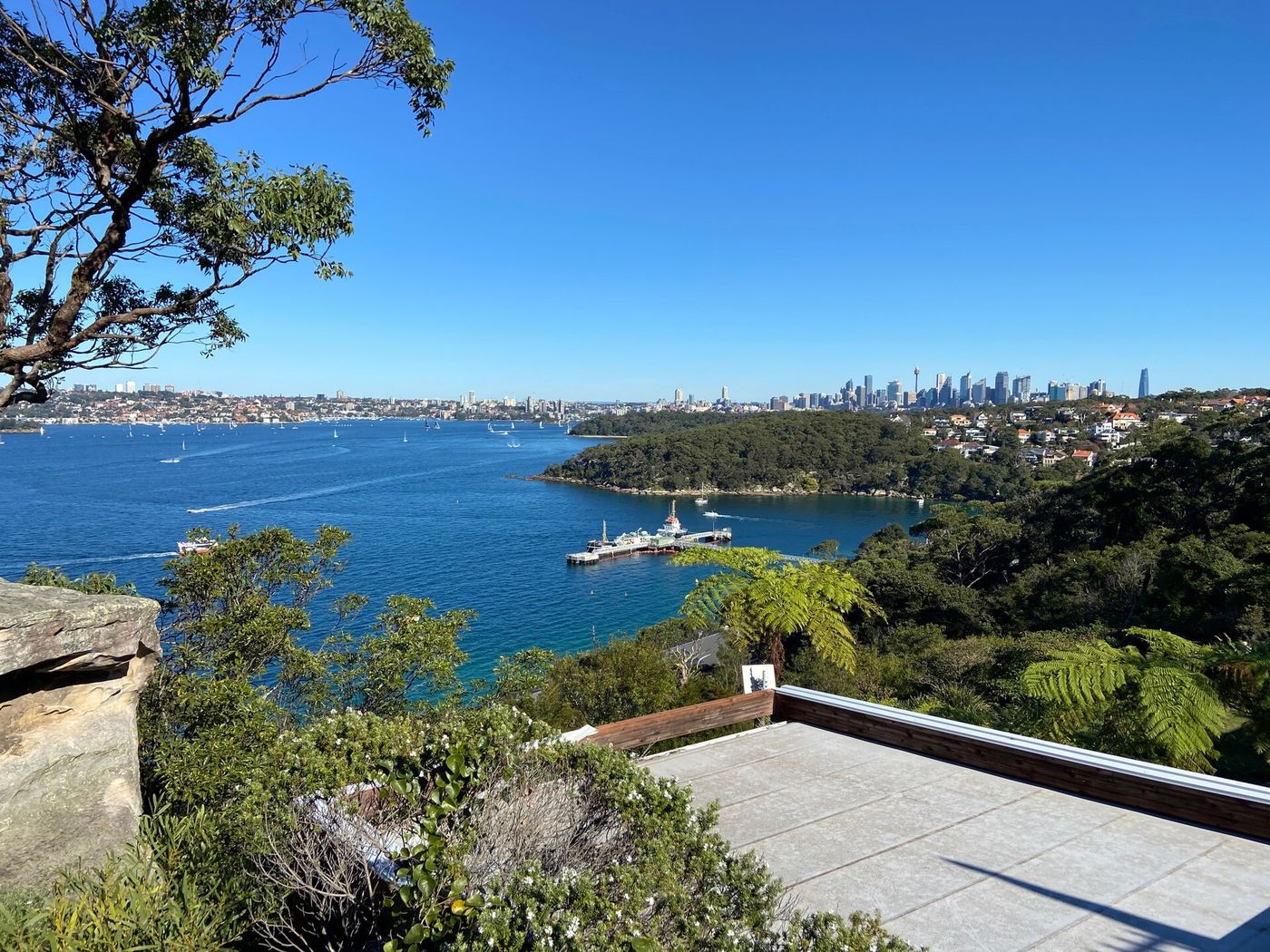
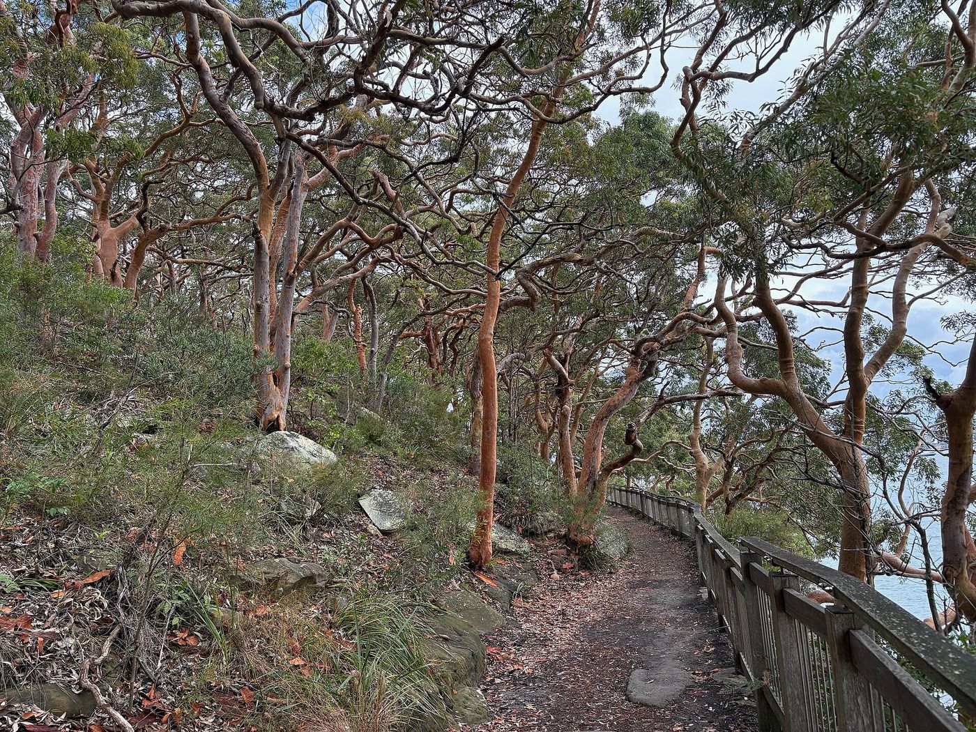
Ten kilometres from Balmoral Beach out to Middle Head, down to Chowder Bay and Clifton Gardens, then along the foreshore track to Bradleys Head and the Taronga Zoo wharf. Bush singletrack, harbour beaches, gun emplacements and a skyline view that stops you dead.

Distance
10.04 km
Elevation
156 m
Time
60–80 min
Difficulty
Moderate
Type
Point to point
HarbourTrailSunriseModerate

Route map

Every stop, mapped

Loading map…
StartFinishWaterToiletsTransportCafeBeachLookoutLandmark Photo stop

Route timeline

Kilometre by kilometre

  1. 0 km

    Balmoral Beach

    Start on the esplanade and climb toward Middle Head Road.

  2. 3.4 km

    Middle Head

    Out to the fortifications and the harbour-mouth lookouts.

  3. 5 km

    Georges Head

    Back west along the clifftop with the city ahead.

  4. 6 km

    Chowder Bay

    Down to the wharf, cafes and the beach.

  5. 6.8 km

    Clifton Gardens

    Netted swimming, taps and toilets.

  6. 8.8 km

    Bradleys Head

    The mast, the amphitheatre and the skyline.

  7. 10 km

    Taronga Zoo wharf

    Finish at the ferry — twelve minutes to Circular Quay.

Route highlights

The parts you'll remember

3.4 km

Middle Head

1870s gun emplacements cut into the cliff, looking straight out through the heads to the open ocean.

-33.8270, 151.2676

6 km

Chowder Bay & Clifton Gardens

Old naval buildings, a working wharf and a netted harbour beach with a jetty — the halfway swim stop.

-33.8390, 151.2545

8.8 km

Bradleys Head

The mast of HMAS Sydney on the point, and the Opera House, Harbour Bridge and city lined up across the water.

-33.8510, 151.2447

Photo stops

Where to stop and shoot

Middle Head gun emplacements on the route
Cabrils / CC BY-SA 4.0

Middle Head gun emplacements

Sandstone tunnels and cannon platforms hanging over the harbour entrance.
Best time
Sunrise
Photography tip
Frame the ocean through one of the tunnel openings for a natural vignette.
GPS
-33.8270, 151.2676
Bradleys Head point on the route
Quincepaste / CC BY-SA 4.0

Bradleys Head point

The cleanest skyline view in Sydney — bridge, Opera House and city in one frame.

Best time
Sunrise, or the last hour of light
Photography tip
Use the HMAS Sydney mast in the foreground to give the skyline scale.
GPS
-33.8512, 151.2450

Local knowledge

Before you go

Best time to run
Early morning — the bush sections are cool and the skyline is lit from the east.
Sunrise
6:00am summer / 6:50am winter — best seen from Middle Head.
Sunset
Behind the city skyline; Bradleys Head is the spot for it.
Parking
Free parking along Balmoral's Esplanade fills by 8am; Clifton Gardens has a paid car park.
Public transport
238 or 233 bus to Balmoral, ferry home from Taronga Zoo wharf to Circular Quay.
Water
Balmoral, Chowder Bay and Clifton Gardens.
Toilets
Balmoral, Chowder Bay, Clifton Gardens and Taronga wharf.

Safety

Mixed trail, steps and short road sections. Watch for cyclists and loose sandstone after rain.

Getting there

  • Balmoral bus (238 / 233)
  • Taronga Zoo ferry

2 water points · 2 toilet stops on route

Local tip

Time the finish to the ferry timetable and ride back past the whole route from the water.

  • Bathers' Pavilion, BalmoralBreakfast before you start.
  • Ripples, Chowder BayHalfway coffee on the water.
  • Taronga ferryThe best possible finish line.

Route pack

Download the Balmoral to Taronga Zoo pack

The GPX file plus everything on this page, ready for your watch and your pocket.

  • GPX file
  • Route map
  • Route summary
  • Elevation profile
  • Route highlights
  • Photo-stop guide
  • Public transport info
  • Local recommendations

Get the route pack

Enter your email and the download starts straight away.

No spam. Unsubscribe anytime.