Sydney · Route card
Milsons Point to Clontarf Reserve
Leg 3 of the Bondi to Manly route
running2explore.com
Distance
22.89 km
Elevation
398 m
Time
2h 30 – 3h 10
Type
Point to point · Hard
Course overview
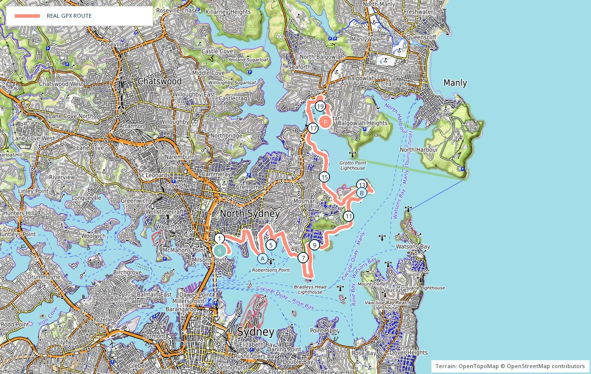
The longest leg. Kirribilli to Cremorne Point, around the Mosman bays to Georges Head and Middle Head, down to Balmoral, then over the Spit Bridge and along the foreshore to Clontarf Reserve.
- 0 kmKirribilli — East along the foreshore streets.
- 3 kmCremorne Point — Around the point on the foreshore walk.
- 9 kmMosman — Up and over between the bays — the steepest kilometres.
- 12 kmGeorges Head and Middle Head — Bush tracks with harbour views.
- 15 kmBalmoral — Flat esplanade beside the beach.
- 18 kmSpit Bridge — Cross on the footway and drop to the foreshore.
- 22.9 kmClontarf Reserve — Finish beside the water.
Photo stops on the map
- ACremorne Point foreshore — Early morning
- BMiddle Head — Mid morning
Local knowledge
- Best time
- Morning — the headland tracks have little shade by midday.
- Transport
- Train to Milsons Point at the start, buses on Spit Road at the finish.
- Water
- Cremorne Point, Balmoral and Clontarf Reserve.
- Toilets
- Cremorne Point, Balmoral and Clontarf Reserve.
- Parking
- Parking at Clontarf Reserve and Balmoral; both fill on weekends.
- Safety
- Steps, roots and loose sandstone on the headland tracks — take them carefully when wet.
Local tip: Balmoral at 15 km is a good regroup point with coffee, water and a swim.